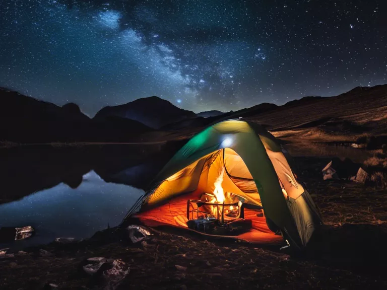
Hiking is a fantastic way to get outdoors, stay active, and connect with nature. Whether you're a seasoned hiker or new to the trails, having the right tools can enhance your experience. The advancement of technology has made it easier than ever to discover new hiking trails and keep track of your progress along the way. Here are some of the best hiking apps to help you find trails and track your hiking adventures.
AllTrails: AllTrails is a popular hiking app that offers a vast database of trails with detailed information, reviews, and photos from fellow hikers. You can search for trails based on location, difficulty level, length, and more. The app also tracks your progress, records your hikes, and provides maps for navigation.
Gaia GPS: Gaia GPS is a top-rated app for outdoor enthusiasts, offering high-quality mapping tools for hikers, bikers, and campers. You can download maps for offline use, plan routes, and track your hikes with GPS tracking. Gaia GPS also allows you to share your adventures and discover new trails recommended by other users.
ViewRanger: ViewRanger is another great app for finding and navigating hiking trails. It offers detailed topographic maps, GPS tracking, and route planning features. You can discover new trails in your area, follow pre-planned routes, and even create your own customized routes. ViewRanger also provides real-time navigation and weather updates.
Komoot: Komoot is a comprehensive app that not only helps you find hiking trails but also provides personalized recommendations based on your fitness level and preferences. You can plan multi-day hikes, discover hidden gems, and sync your routes across devices. Komoot's turn-by-turn navigation and offline maps make it easy to explore new trails with confidence.
PeakVisor: PeakVisor is a unique app that combines hiking with mountain identification. Using augmented reality technology, PeakVisor allows you to point your camera at any mountain peak and instantly see its name and elevation. You can also explore different trails leading to the peak, view 3D maps, and track your progress in real time.


