With the advancement of technology, creating 3D maps and models using drone technology has become more accessible and efficient than ever before. Drones equipped with high-resolution cameras and precision sensors can capture detailed images of landscapes and structures, enabling users to generate accurate 3D maps and models for a variety of applications. Whether you are a surveyor, engineer, architect, or hobbyist, here are some top tips for creating 3D maps and models using drone technology.
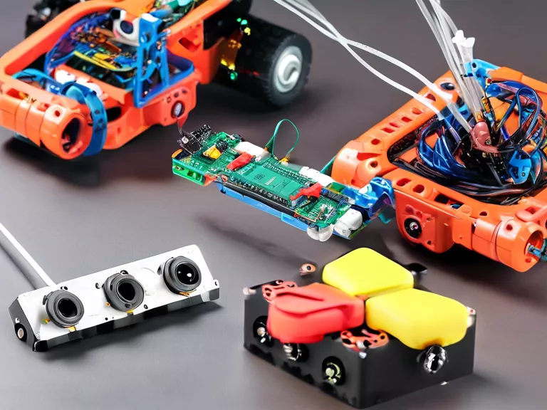
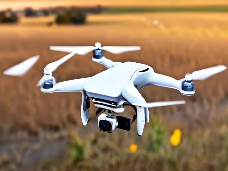
Choose the right drone: Selecting the right drone for your mapping project is crucial. Consider factors such as flight time, camera quality, GPS accuracy, and payload capacity to ensure the drone can meet your specific requirements.
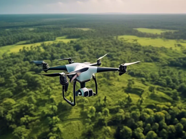
Plan your flight path: Before taking off, carefully plan your drone's flight path to ensure complete coverage of the area you want to map. Use mapping software to create a mission plan that includes waypoints, altitude, and overlap settings for optimal results.
Adjust camera settings: Configure your drone's camera settings to capture high-quality images with the appropriate resolution, exposure, and white balance. Ensure there is enough overlap between images to facilitate accurate processing and stitching for 3D modeling.
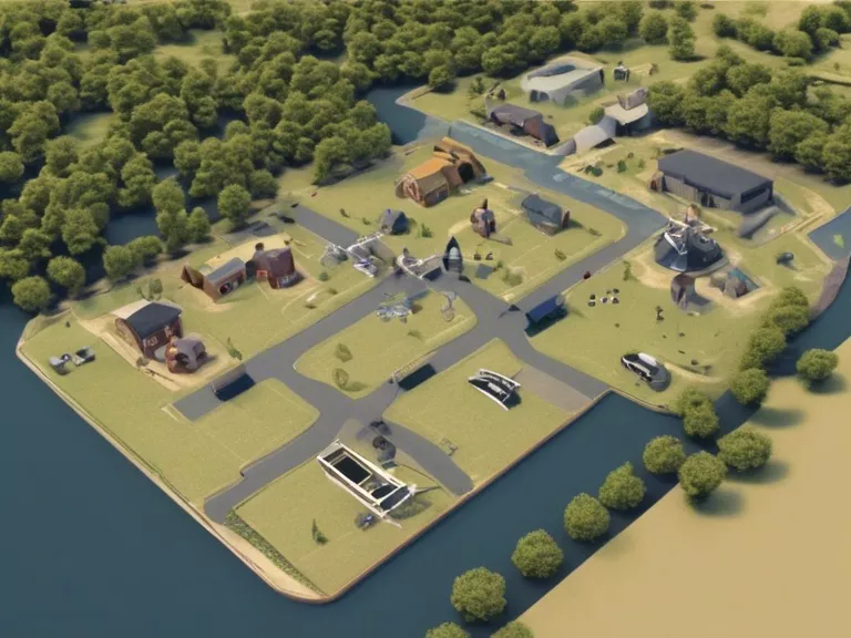
Process your data: Once you have captured the images, process them using photogrammetry software to create a 3D model. Follow the software's guidelines for importing, aligning, and stitching the images together to generate a detailed and textured model.
Validate and analyze your model: After creating the 3D model, validate its accuracy by comparing it to ground control points or existing data. Analyze the model to extract measurements, volumes, and other valuable information for your intended application.
In conclusion, creating 3D maps and models using drone technology requires careful planning, execution, and processing. By following these top tips, you can enhance the accuracy and quality of your 3D mapping projects, leading to valuable insights and actionable results.